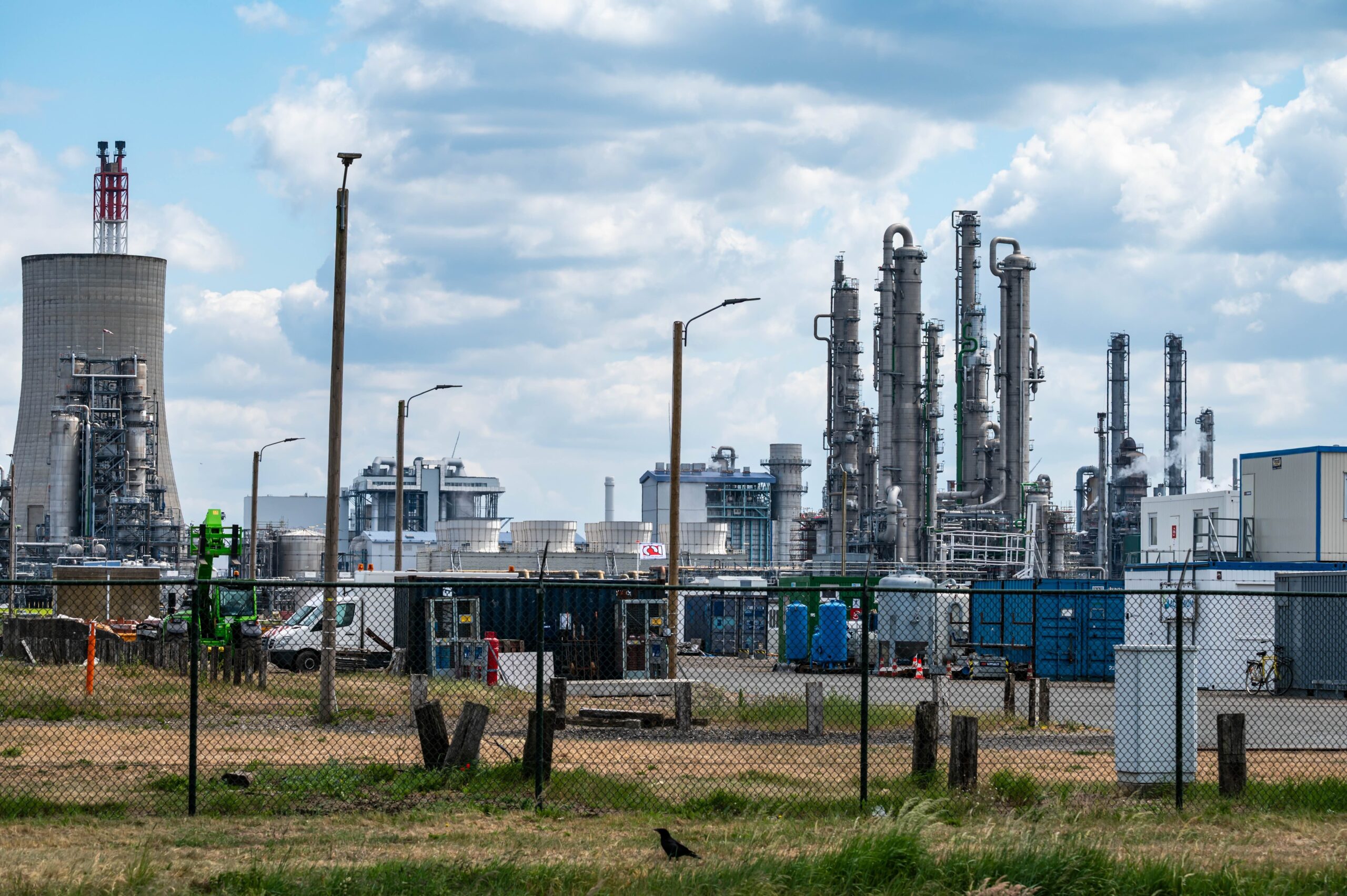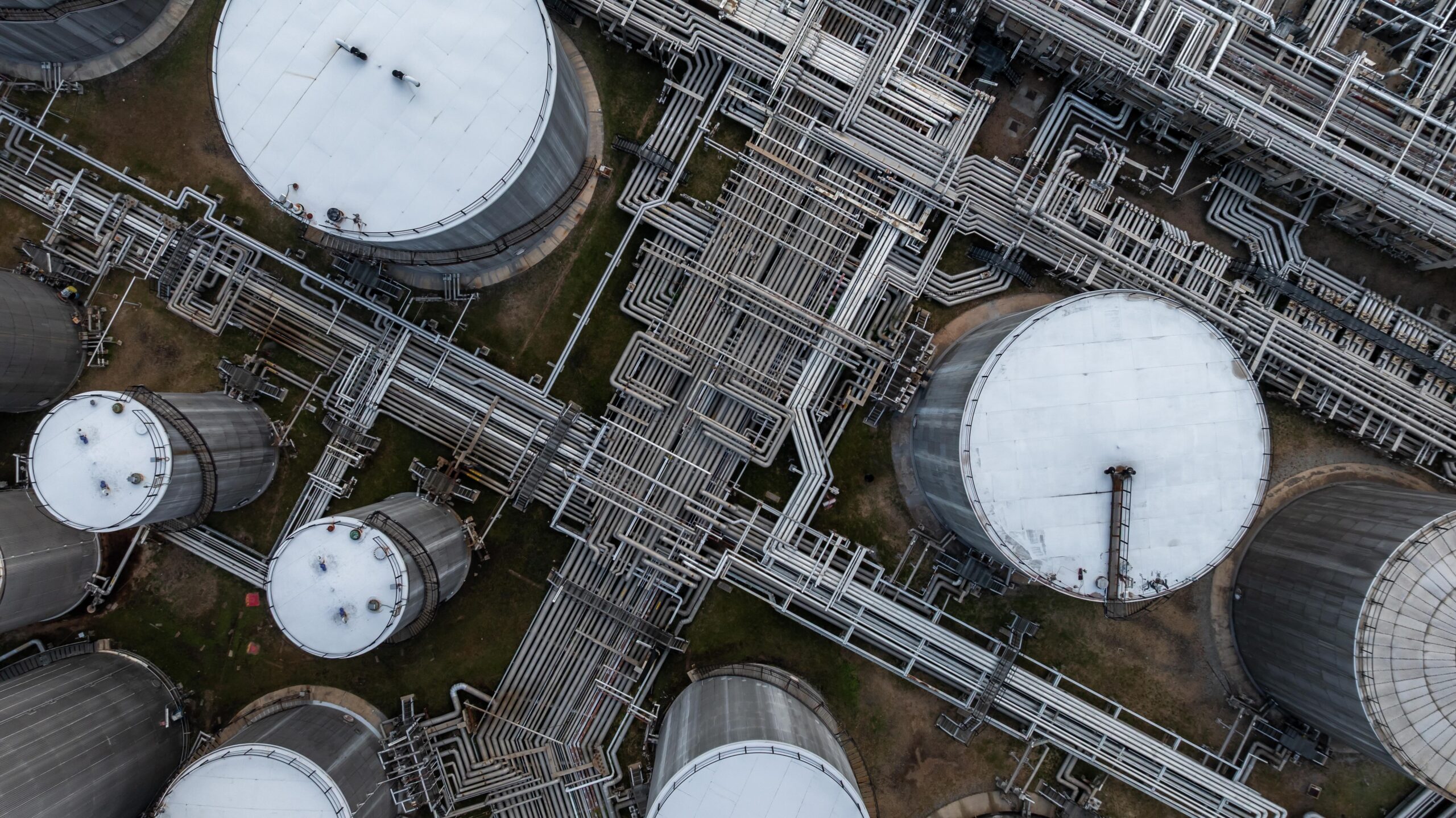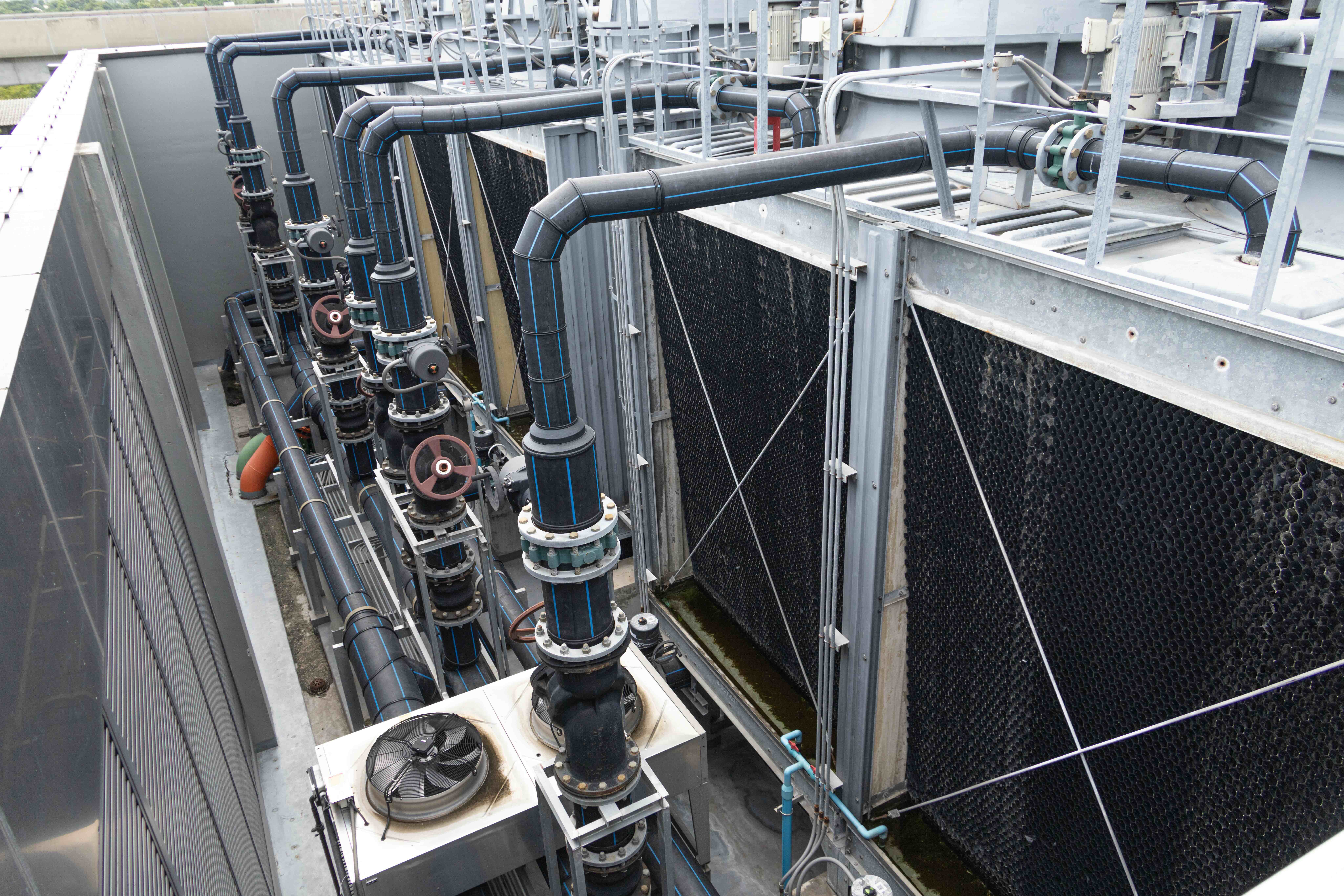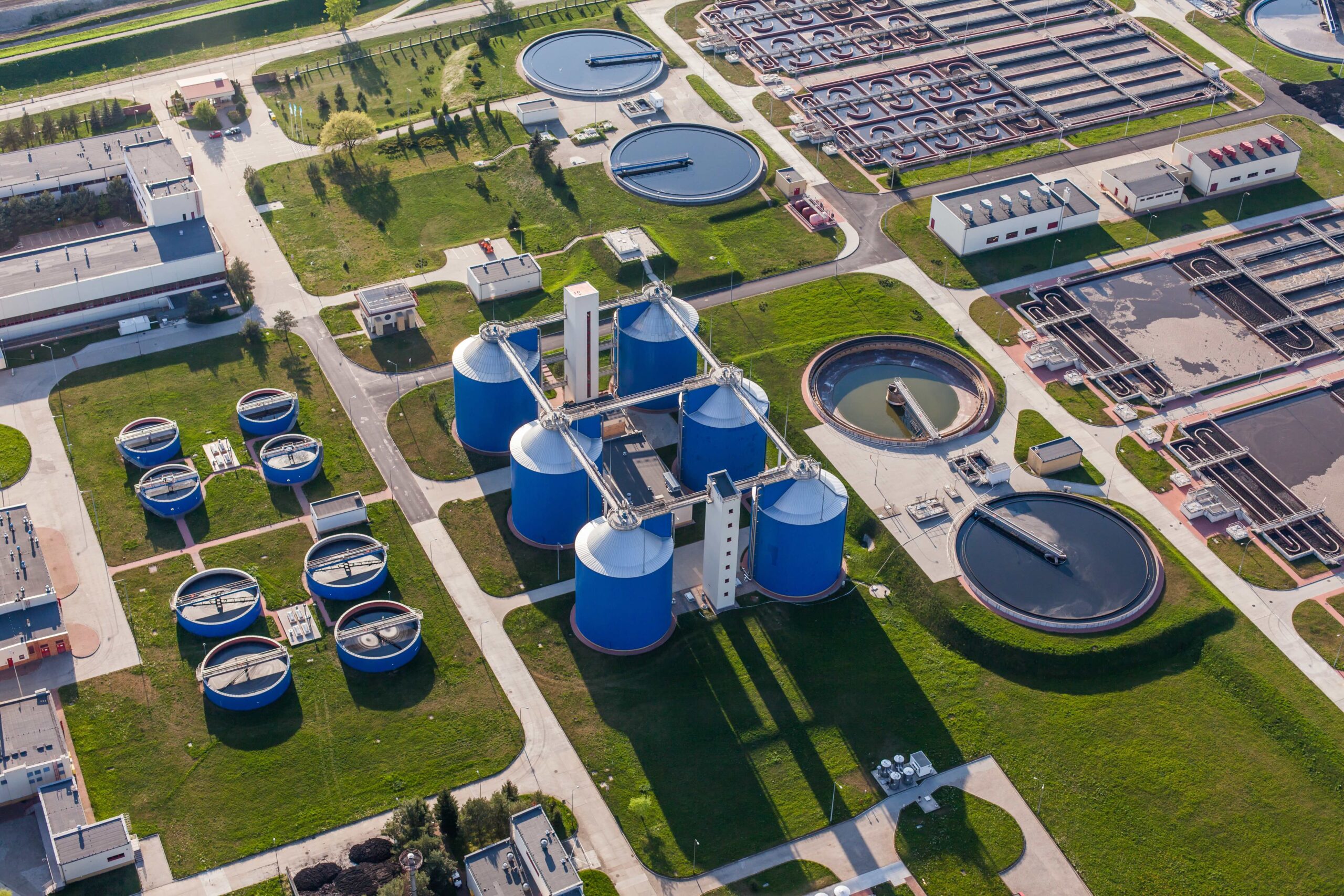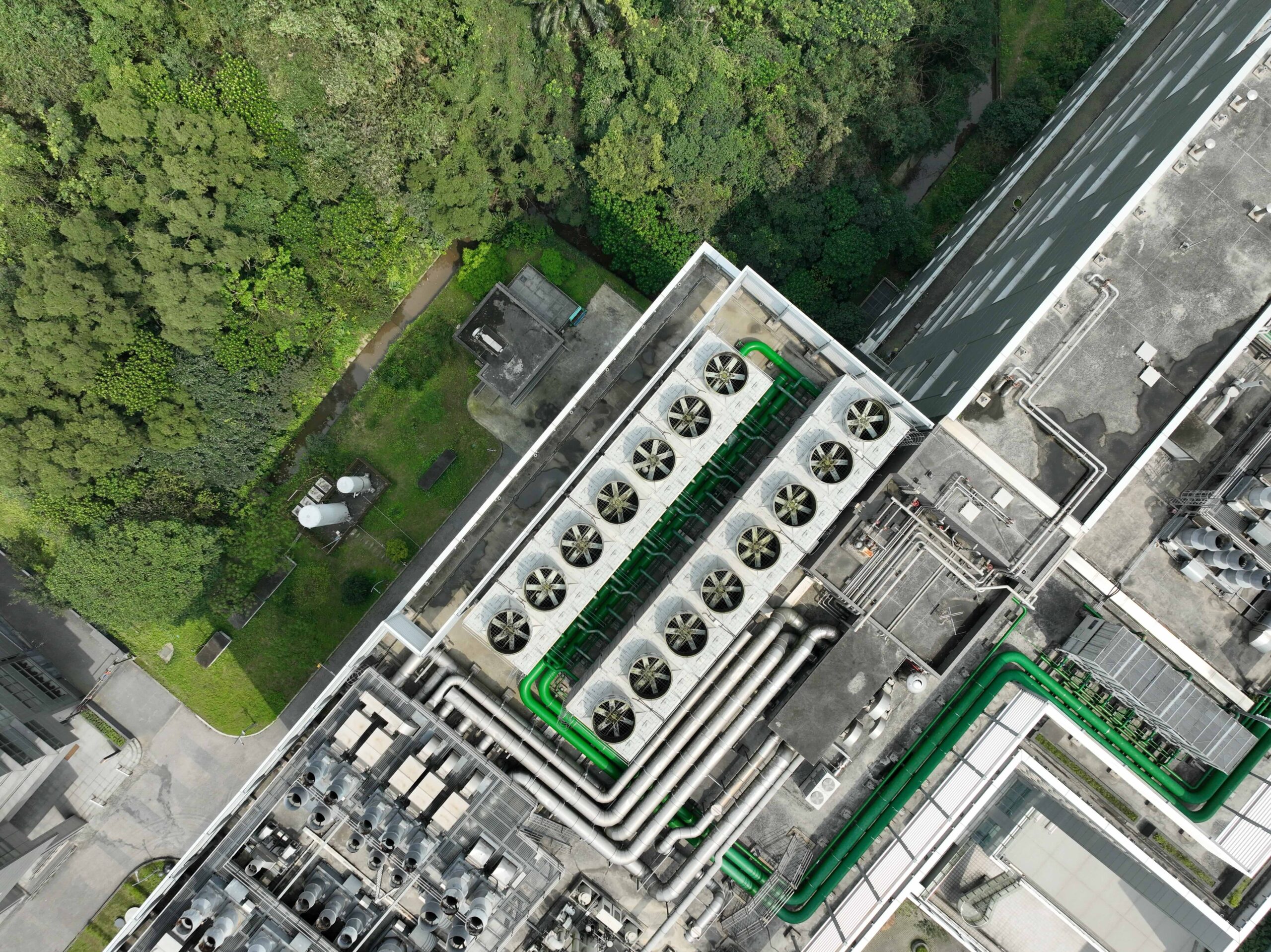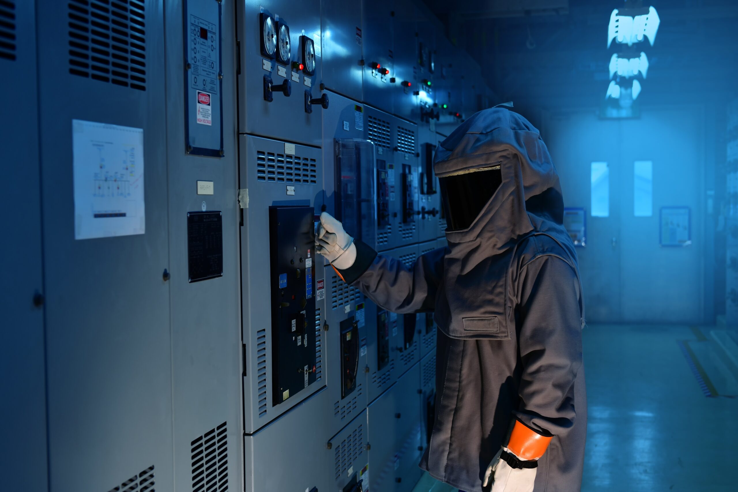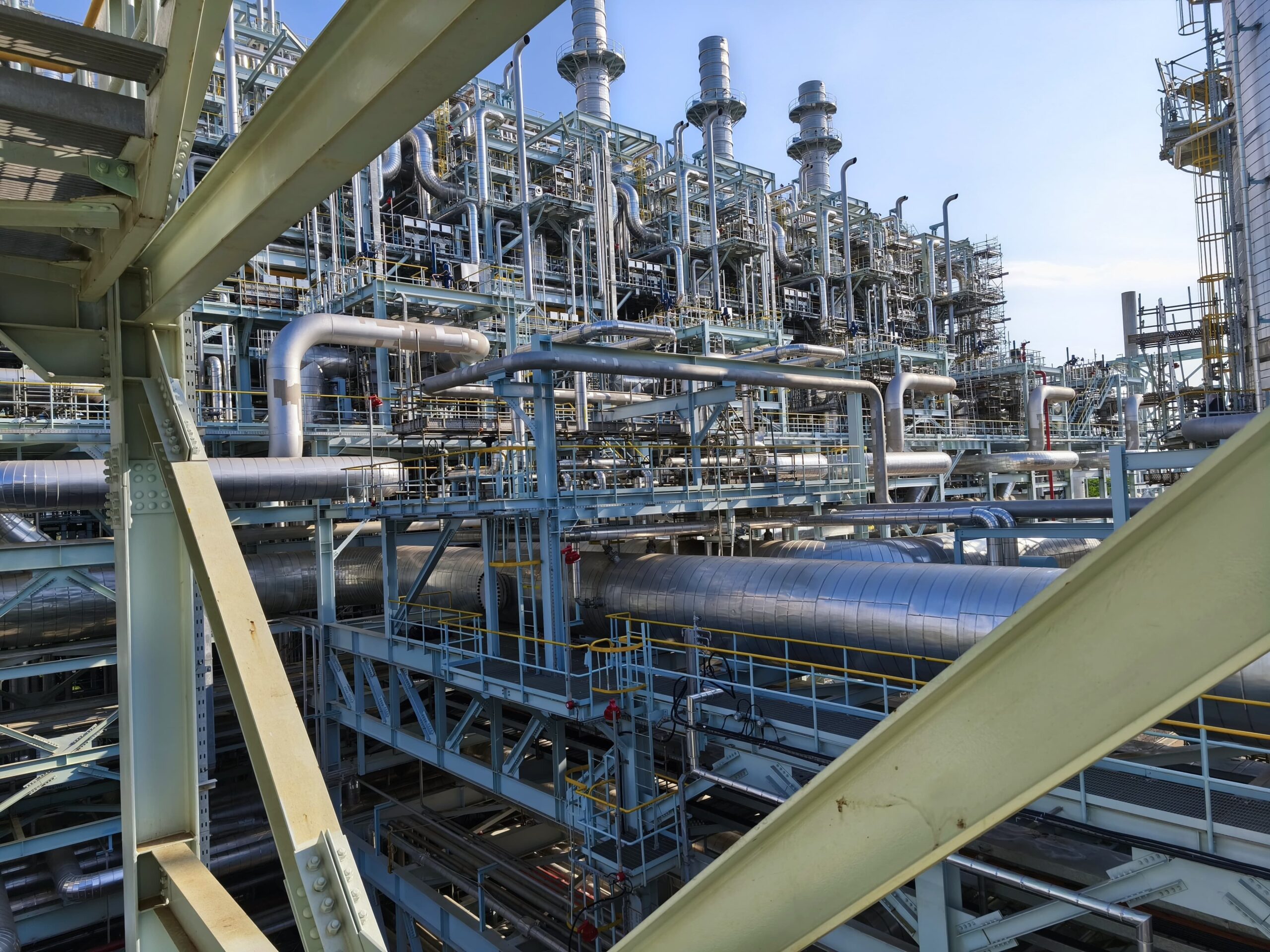
A brownfield tie-in connects new or modified equipment to an existing facility. Planning that connection includes verifying the installed conditions, defining the engineering scope and coordinating the work with plant operations. The tie-in itself may be a small part of the project, while its prerequisites involve several disciplines and departments.
The wider manufacturing market is moving further into implementation. Rockwell Automation’s 2026 State of Smart Manufacturing findings report that 59% of surveyed manufacturers actively use smart manufacturing technologies. For owners making changes within existing plants, physical connections and operating constraints remain part of the engineering work behind modernization.
Establish what is actually installed
Existing drawings provide a starting point for the design, but field verification establishes whether they reflect current conditions. Relevant information can include the connection location, equipment arrangement and available access. Where appropriate, laser scanning adds geometric information to support design around an operating facility.
A scan does not establish everything about an asset. It does not by itself verify the condition or suitability of the piping. Engineering records, inspection findings and operator knowledge serve different purposes and need to be evaluated together when defining the modification.
Turn the connection into a complete work package
The Construction Industry Institute’s Project Definition Rating Index supports identifying gaps in scope before detailed design and construction. For a tie-in, that means looking beyond the new connection to the surrounding work: associated supports, demolition requirements and the information needed for fabrication and installation.
Constructability review connects that design with the actual work area. It considers whether crews can reach the location and whether the installation sequence fits the available space. Operations identifies the facility constraints and required isolation approach through the site’s established procedures. These reviews help define what can be prepared in advance and what depends on the shutdown.
Close open decisions before the outage
The readiness review brings engineering status, material availability and the installation sequence into one conversation. It records unresolved items with responsible owners and required decision dates. Inspection and testing requirements also need to be reflected in the work package so the schedule includes the steps needed before the modified system returns to service.
Allied Engineering and Design supports heavy industrial projects with piping design, laser scanning and project management, including constructability reviews. Contact AED to discuss the engineering and preparation required for your next plant modification.